Day in the Life of a Survey Pilot
General


Early bird gets the…work! Do you love getting up with the sun and flying above the birds? If you answered yes (and you have a pilot's license), becoming a survey pilot may be the career for you.
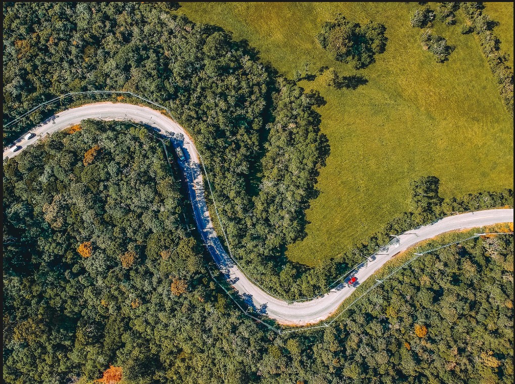
Pilots survey areas for mapping, mineral exploration, or environmental monitoring, and farming.
After GeoWeek this year, we caught up with Michael Intschert, President of TALOS Aviation, Stephen Ambagis, owner of Resource Mapping Hawaii, and Aaron Schepers President of Cornerstone Mapping, Inc., to chat with them about what a typical flying day in their lives looks like.

First Things First
To ensure a successful day of flying and collecting data, survey pilots often start their day as early as 4 a.m. The first step of the day (after breakfast and coffee) is checking the weather.
It is crucial to have sunlight and calm weather for flying, specifically when flying to collect imagery data (no high winds, minimal clouds, no rain, no snow).
Flying in less-than-ideal conditions is not only dangerous, but it can affect the quality of the data being collecting. If the data is affected due to poor weather conditions, the survey team might have to do the same flight all over again to collect more accurate data.
Before heading to the airport, survey pilots also must check airspace with air traffic control to make sure there will be enough room for their job, and check if there are any temporary flight restrictions.
Once at the airport, it is time to perform another crucial part of this job: Pre-flight checks.
“Pre-flight checks ensure that the aircraft is airworthy, and sensors are in working condition.”- Aaron Schepers, President of Cornerstone Mapping
This is also the time to review the survey plan, the altitude and speed required, and consider hazards that may be in the flight plan. When these checks are done, it is time to fly to the surveying location.
Getting in the air
While most companies have survey teams (which include the pilot(s) and sensor operator(s)) some companies have one person in charge of everything.
Aaron Schepers is a perfect example of this. Aaron is a “one-man-band.” He does all the data collection, flying, and processing. He tends to work longer days but enjoys more flexibility with his schedule. Aaron chooses to work alone because he has been working with his sensors for years and knows them inside and out.
No matter if the survey pilot is working with a team or by themselves, getting to the job site early is important in maintaining the client’s schedule. Pilots works closely with the survey team on board, who operate the specialized survey equipment to collect data. The pilot may need to communicate with the survey team to ensure they are capturing the data correctly and efficiently.
“When using visible light sensors to collect imagery, most of our customers expect us to collect at a minimum of a 30-degree or even 35-degree sun angle to help minimize the effect of shadows on the images. This degree of sun angle can vary wildly depending on time of year and location on the earth, but typically for us right now this is about 0830-1615 here in southern Arizona.“ - Michael Intschert, President of TALOS Aviation

These time frames may vary based on the time of year (example: the sun rises later and sets earlier in the winter) and where you are in the world (latitude effects sun angle in different parts of the world).
Most imagery surveying is done during this window. Lidar scans can be done at any time of day because they don’t need light to collect data.
Whether the team is flying lidar, cameras or both, they expect to be in the air anywhere from 4-8 hours. When flying for more than 4 hours, they usually have to work an hour into the schedule for fueling the aircraft, unless they have extended range fuel tanks or auxiliary fuel to extend flying time (also known as tip tanks since they are added to the tips of the wings).
Effective communication with the survey team on the ground is essential for ensuring the survey objectives are met. Once the data is collected, it is time to land and start processing.
Common Challenges
While in the air or on the ground, there are many challenges survey pilots, and their teams can face. It is important to be ready to troubleshoot. Being diligent in pre-flight checks and flight planning can aid to minimize challenges in the air. Below are 5 common challenges that survey pilots can face.
- Weather: As mentioned above, conditions such as high winds, turbulence, and low visibility can impact flight operations and make it difficult to collect accurate data. Survey pilots need to constantly monitor weather conditions and make adjustments to flight plans accordingly.
- Airspace: Pilots need to be aware of airspace restrictions, such as military or restricted zones, and must obtain clearance from air traffic control before entering these areas.
- Terrain: Flights often take place over rugged terrain (think Hawaii, Nevada, Colorado), such as mountains or dense forests, which can be challenging to navigate and require a high level of skill and experience.
- Equipment: Survey equipment requires regular maintenance and calibration to ensure accurate data collection. When these sophisticated systems are not maintained or calibrated, they can cause technical issues that can impact survey results and require troubleshooting while in flight.
- Focus: Pilots and operators must maintain a high level of focus and attention to detail to minimize errors that can impact data accuracy or compromise safety. A common safety challenge is fatigue. Long hours spent in the cockpit can lead to fatigue, can impact decision-making ability and overall performance.
“Flying the complex terrain of Hawaii, like the valleys of the Na Pali Coast on Kauai where it is always turbulent, can be very challenging. Not only are you dealing with wind, but you are also trying to survey a 1,500 foot drop off a cliff. It can get pretty intense. Flying in these areas requires a lot of skill, experience, and quick thinking.” -Stephen Ambagis, Owner of Resource Mapping Hawaii
End of day
After a day of flying, survey pilots and their teams must complete end-of-day tasks before they can go home. Below is a glimpse of what evening workflows can look like for a survey pilot.
Evening workflows include:
- Post-Flight Analysis: After the survey flight, the pilot and survey team review the data to ensure it was collected accurately and to make any necessary adjustments to the flight plan for the next day. The pilot may also need to provide input to the rest of the survey team on the flight plan for future surveys based on their experience in the air.
- Data Processing: The survey team will process the flight data typically the same day it was collected. The data is processed quickly to get the finished product back to the client. Processing flight data varies by company, some companies send their data to outside sources to process, and some do collection and processing.
- Maintenance and Record Keeping: The survey pilot is responsible for ensuring the aircraft is properly maintained and serviced, and they may need to log any maintenance performed or issues encountered during the flight. They may also need to maintain records of the data collected during the survey for future reference.
- Other Tasks: In addition to flying surveys, the pilot may need to attend meetings with survey clients, participate in safety briefings or training sessions, or perform other administrative tasks related to their job.

After the pilot and survey team are done their end of day tasks, it is time to head home and, as Stephen Ambagis says, “you just wash, rinse, and repeat everyday”.

Conclusion
Being a part of a manned aerial survey team is a fascinating and fun job, days on the job vary yet still have consistency in workflows. Survey pilots have a flexible yet demanding schedule that requires lots of travel. Getting to see the world from an aerial view is breath taking and a wonderful thing to look forward to everyday. Though this job is fulfilling, it is also technical and requires precision.
Our goal at ClearSkies Geomatics is to make your job easier. We aim to provide our clients globally with high-quality aerial survey equipment at a competitive price. Check out our aircrafts, lidar, and medium/large format camera for lease and for purchase.


Company
Aerial Survey Products
Aircraft Marketplace
Cookie Preferences
