Dead
Dead
Dead
Dead
Dead
IO Imagery
Availability
Description
Task an IO Aerospace Learjet Like a Satellite
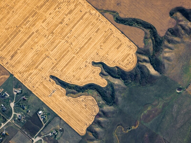
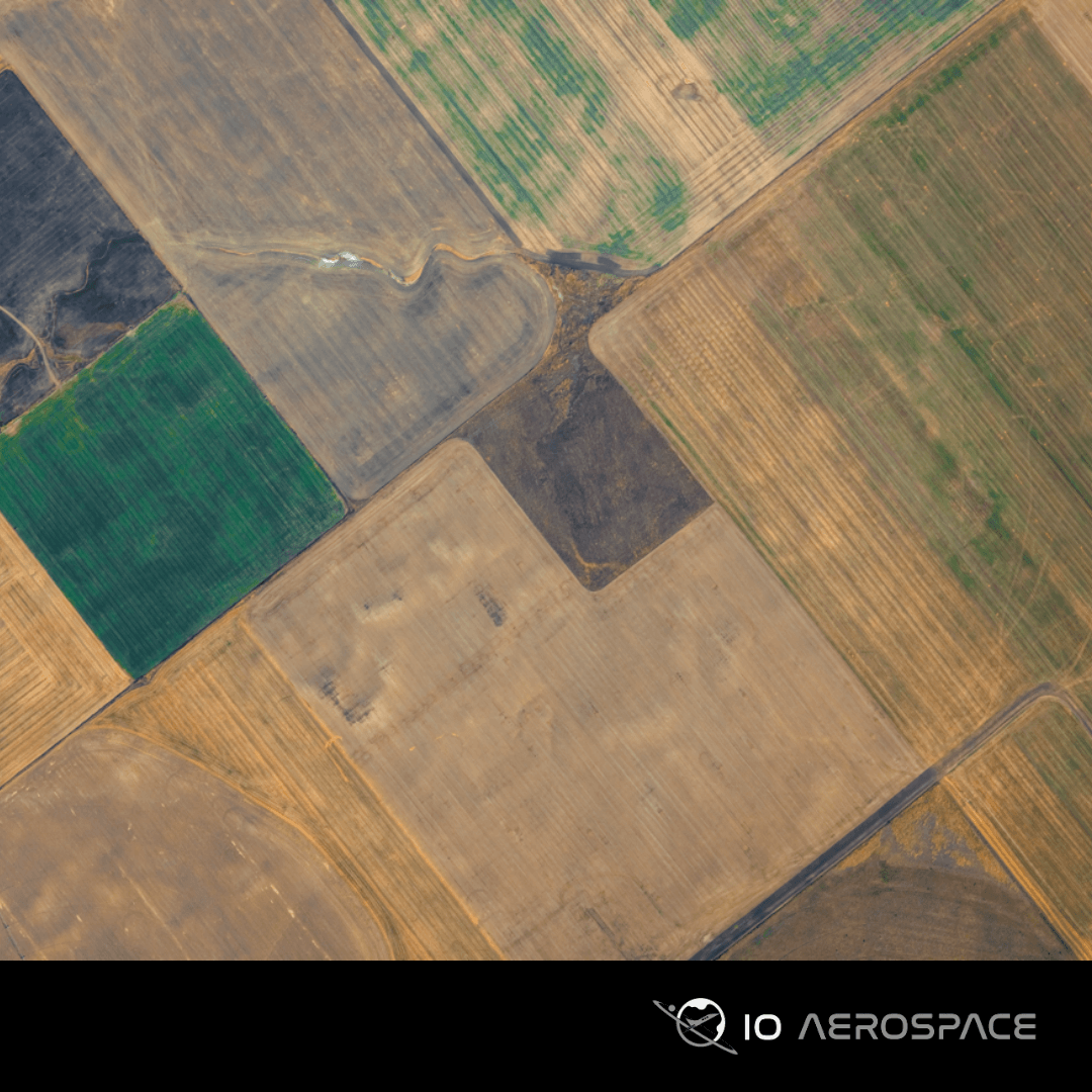
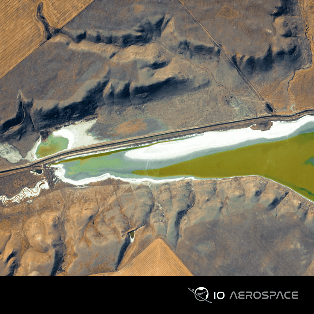
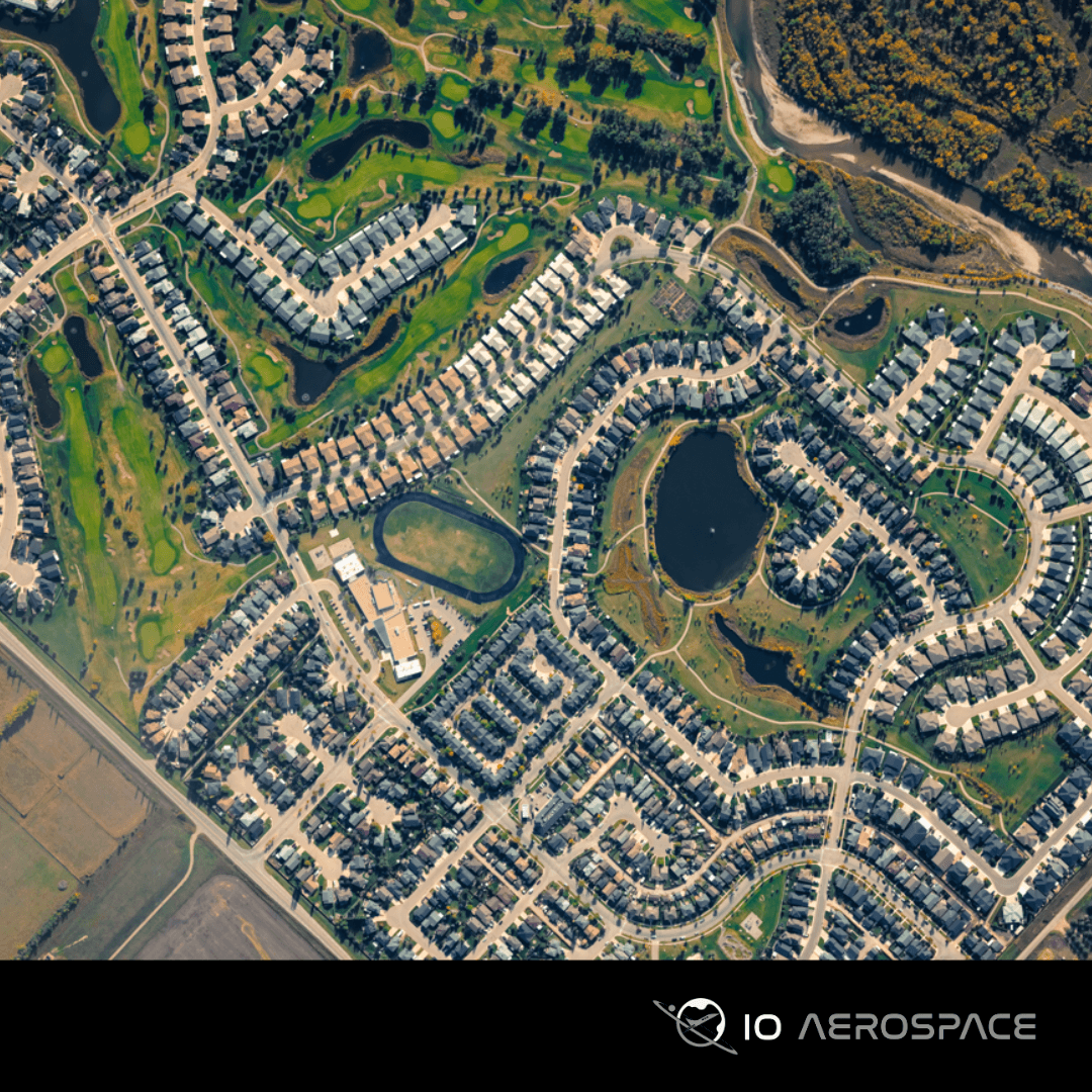
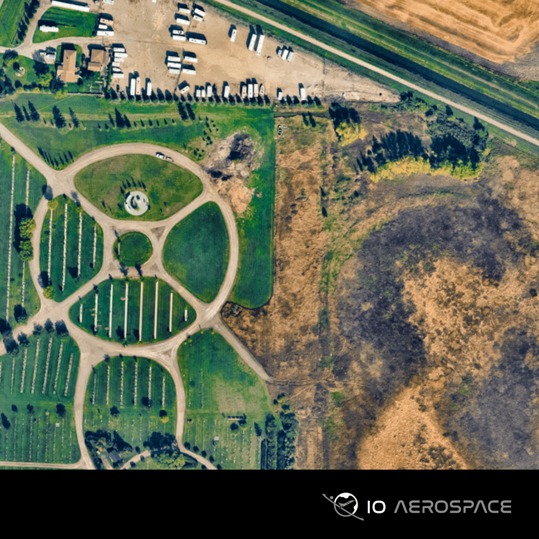
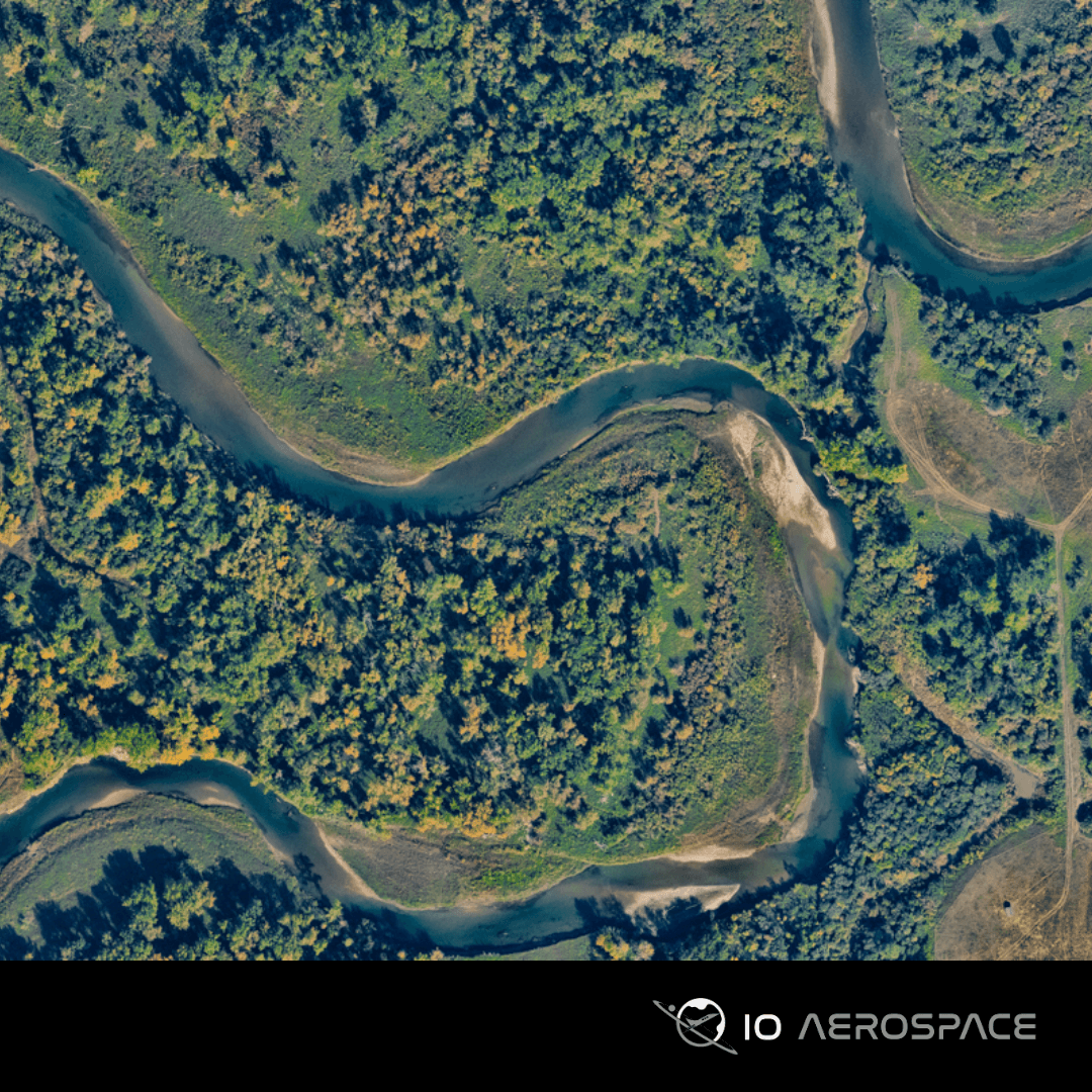
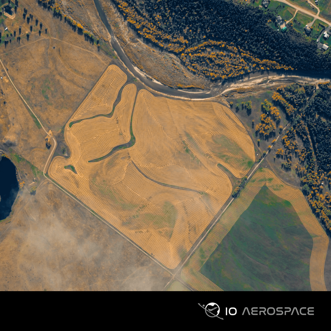
IO Imagery provides wide-area high-resolution optical imagery. Unlike traditional remote sensing, which can take six months or more to deliver usable data, our streamlined approach enables rapid production of orthorectified images, elevation models, and analytics—helping you make timely decisions without the wait.
Cost-effective wide area coverage provides 10 cm RGB and NIR imagery. The camera’s multi-look capability allows the rapid creation of orthorectified images, elevation models, analytics, and more.
- Wide-Area Coverage: Capable of mapping 10,000 square kilometers in a single flight.
- High-Resolution Imagery: 10 cm RGB, Enabling detailed insights.
- Clear Pricing: Pay only for your specific area of interest, with per-kilometer or per-area pricing options.
- Customizable Areas: Tailored collection for linear corridors or irregular shapes, avoiding the need to purchase unnecessary data.
- Fast Turnaround: Initial data delivery starts within days, significantly faster than satellite alternatives.
Aerial Mapping, Data Acquisition, Optical Imagery, Monitoring
Gallery
No items found.
Request a Quote
Get in touch directly with our sales team
Newsletter
Join +15K active subscribers
Stay in the loop! No spam. Ever.


Company
Aerial Survey Products
Aircraft Marketplace
Cookie Preferences
